Reach your stations knowing the ice.
Research icebreaker cruises are calculated the same way, so you see the ice and access routes between stations in advance.
Use cases
Plan the science and the route together.
- Routes and days between stations for a PC6 research icebreaker
- Concentration, estimated thickness and RIO in the study area
- Per-leg notes with polar night, wind and waves
- Comparison material between field thickness and satellite estimates
With field data
Field measurements make the model better.
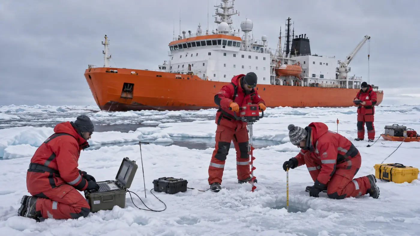
Ice thickness, CTD and SAR data from research cruises are hard to get from satellites alone. In the PoC we plan to connect KOPRI field data to validate thickness estimates.
Planned integration; current calculations use public data only.
FAQ
Frequently asked questions
Does it suit research vessels?
Yes. The demo fleet includes a PC6 research icebreaker and an example survey leg from Tromsø to Longyearbyen (Svalbard).
Get started
Try it on your own fleet’s voyages.
We walk you through the demo account and run your planned voyage on the latest ice field.