Every data source we calculate with.
Public data used in calculations today, and field and operations data planned for the PoC.
In use now
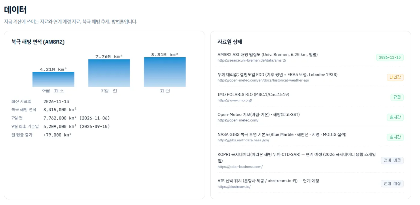
Runs on public data.
| Source | Use | Status |
|---|---|---|
| AMSR2 ASI sea-ice concentration (University of Bremen, 6.25 km, daily) | Concentration and ice edge | Daily |
| Freezing degree days (climatology + ERA5, Lebedev 1938) | Ice type and thickness | Proxy |
| IMO POLARIS RIO (MSC.1/Circ.1519) | Risk index and permitted speed | Regulation |
| Open-Meteo forecast (wind, temperature) and marine (waves, SST) | Per-leg weather and ocean advice | Live |
| NASA GIBS Arctic base maps (Blue Marble, coastlines, labels, MODIS true colour) | Map background | Live |
| Natural Earth 50 m | Land mask | Static |
Planned
Data to add in a PoC
Polar field data
Connecting KOPRI polar data (Araon ice thickness, CTD, SAR) is planned for the PoC stage.
AIS positions
Live positions and speeds through operator data or an AIS feed key.
Vessel operations data
Fuel consumption, hull stress and planned voyages for vessel-specific models.
Until connected, calculations use public data only. Integration keys are stored per company and never shown again.
Get started
Try it on your own fleet’s voyages.
We walk you through the demo account and run your planned voyage on the latest ice field.