A platform that calculates routes from sea-ice data.
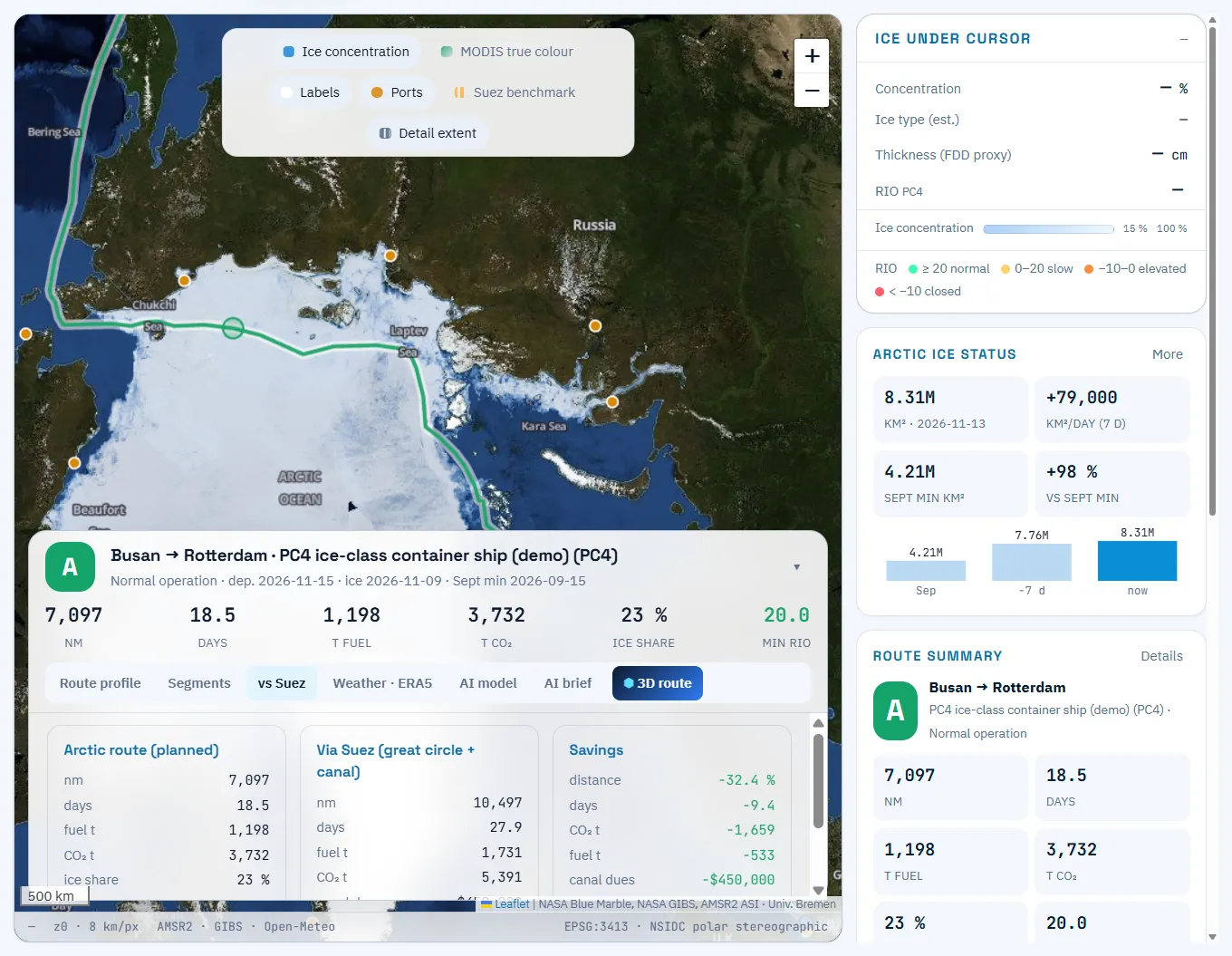
POLARROUTE AI brings sea ice, weather and vessel data onto one route grid, calculates risk and delivers route, speed, comparison and briefing on one screen.
Modules
Five modules, one workflow.
Route planning & POLARIS
Optimal route from risk index and permitted speed per ice class.
Sea-ice data
6.25 km concentration, ice type and thickness, Arctic ice trend.
Suez comparison, fuel & CO2
Distance, days, fuel, CO2 and canal dues side by side.
AI briefing & 3D route
A summary ready for meetings, plus a 3D route.
Fleet & voyages
Register vessels, save voyages, recalculate all.
Specifications
At a glance
| Item | Detail |
|---|---|
| Sea-ice concentration | AMSR2 ASI (University of Bremen), 6.25 km, daily |
| Ice type & thickness | Freezing-degree-day proxy, Lebedev (1938), ERA5-corrected |
| Risk | IMO POLARIS RIO (MSC.1/Circ.1519) per ice class |
| Routing | A* on a 0.25°×0.5° grid, 16 directions, Natural Earth 50 m land mask |
| Weather & ocean | Open-Meteo forecast (wind, temperature) and marine (waves, SST) |
| Ports | 26 ports from Busan, Ulsan, Gwangyang, Shanghai and Yokohama to Rotterdam, Hamburg, Nuuk and Nome |
| Languages | Korean and English UI; AI briefing in both |
FAQ
Frequently asked questions
Do we install anything?
No. It is a web SaaS; nothing is installed on board.
Which waters are covered?
Routes across high-latitude waters centred on the Northern Sea Route, including the Barents and Bering Seas and ports toward the Northwest Passage.
How often does data update?
Sea-ice concentration updates daily, and saved voyages can be recalculated on the latest ice field with one click.
Get started
Try it on your own fleet’s voyages.
We walk you through the demo account and run your planned voyage on the latest ice field.