POLARIS, why the same ice means different risk for each ice class
The international method that turns “how risky is this ice for this ship” into a single number is POLARIS.
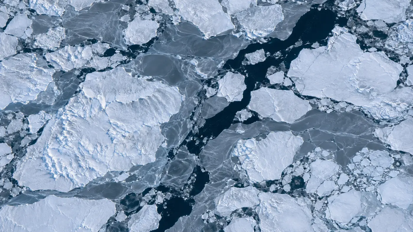
An ice chart quickly shows how much of the sea is covered. Yet the same water poses very different risks to a strong icebreaking ship and to one with little ice capability. The white areas on a map alone do not tell you whether you can go.
That is why the International Maritime Organization set out a way to calculate risk from the type and amount of ice together with the ship’s ice class. Ships operating in polar waters use it to assess their own operating limits.
Below we explain how the risk index is calculated, how the number turns into operating limits, what makes applying it to a whole route hard, and how to use it in planning. If you are planning polar voyages, this may help.
Category: Arctic routes
POLARIS is IMO’s method for assessing polar operating risk
Ships in polar waters fall under the IMO Polar Code. It requires each ship to assess in advance its limits for operating in ice, and the method IMO provides for that assessment is POLARIS, published as MSC.1/Circ.1519.
The calculation starts by sorting the ice by type. New thin ice, first-year ice that grew over one winter, and multi-year ice that survived a summer differ in strength and thickness, so they pose different risks.
Next comes how much of each ice type is present. Concentration is expressed in tenths, each type’s share is multiplied by a risk value, and the results are added up. That sum is the risk index outcome, RIO.
The risk values (RIV) come from a table by ice class and ice type. Polar classes PC1 to PC7 follow the IACS unified requirements for polar class, and Baltic classes such as IA Super and IA are in the table as well.
The risk index becomes an operating limit
An RIO of 0 or above is the normal operating range. The ship can operate as designed, with no additional speed limit.
Between 0 and −10 the risk is elevated, and class-specific speed limits apply: 11 knots for PC1, 8 knots for PC2 and 5 knots for PC3 to PC5. Lower classes may pass at 4 knots under icebreaker escort.
Below −10 the ship should not operate. At the planning stage that means finding a path around those cells or waiting for a date when the ice recedes.
This is why the same ice produces different numbers for different ships. Thick multi-year ice is manageable for a high class but becomes a large negative value for a low class, creating closed areas.
POLARIS along a whole route takes a lot of calculation
You can work out the risk index for one point by hand. The challenge is doing it for every point along thousands of nautical miles, and then deciding whether to detour or slow down.
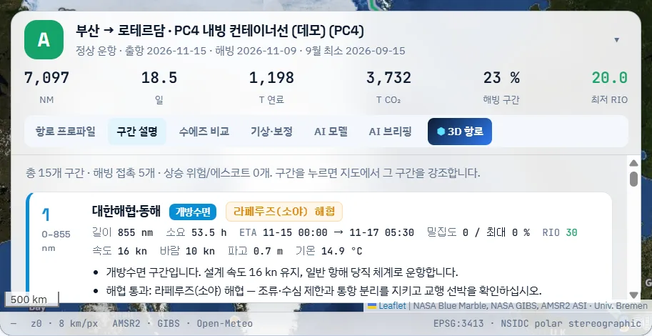
POLARROUTE AI computes the risk index on a grid of 0.25 degrees of latitude by 0.5 degrees of longitude. It removes closed cells and searches for the most efficient path, using time at permitted speed plus a risk weighting as the cost.
Ice type and thickness are estimated from satellite concentration and freezing degree days. Basic ice categories follow the same distinctions as the US National Snow and Ice Data Center’s sea-ice guide, and cells with at least 70% ice at the September minimum are treated as multi-year ice.
There are limits. Thickness is calculated rather than measured, so we plan to validate it against polar field measurements in upcoming pilots.
How the risk index is built
Split the ice in the area by type.
Concentration of each type in tenths.
Multiply by the class risk values.
Add up and compare with 0 and −10.
Planning means varying class and date
The most useful thing at the planning stage is comparison. Running the same route with ships of different classes shows which ship to deploy; changing the departure date shows when the risk index improves.
You can also switch escort on or off. With escort, legs between −10 and 0 can be passed at 4 knots, which reduces detours but adds time and cost.
Results come as risk index, permitted speed and caution areas for each leg, ready to share with the ship. The calculation is for screening and does not replace official ice information or the master’s judgement.
We have explained how the risk index is calculated and how it sets operating limits; how it is applied to route calculation is described on the Route planning & POLARIS page.
Frequently asked questions
Where do we find our ship’s ice class?
On the class certificate and the Polar Ship Certificate. The class determines which risk value table applies.
If the index is 0 or above, is no action needed?
It only means the normal range. Wind, waves, polar night and changing weather still need separate checks.
Who decides the ice type?
At the planning stage it is estimated from satellite data. Under way, the ice observed from the ship should be used to reassess.
Want to see your next Arctic voyage in numbers first?
Give us a planned voyage and ice class. We run it on the live sea-ice field and compare the route, fuel and CO2 with the Suez benchmark.
Request a demo →Edited and answered by the MomentCube POLARROUTE team / james@momentcube.com · +82-32-212-1011