A voyage briefing ready for the meeting.
Turns the calculation into readable sentences and shows the route and ice thickness on a 3D globe.
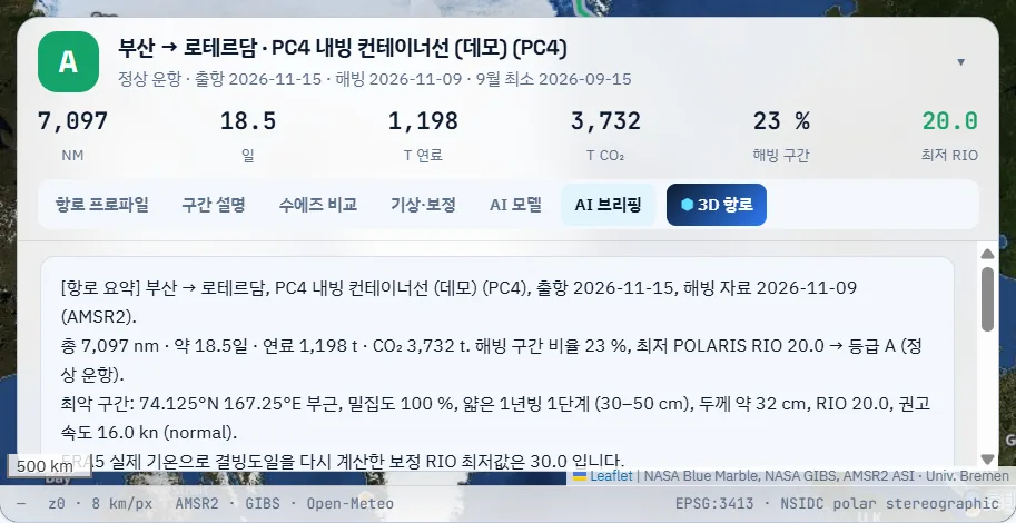
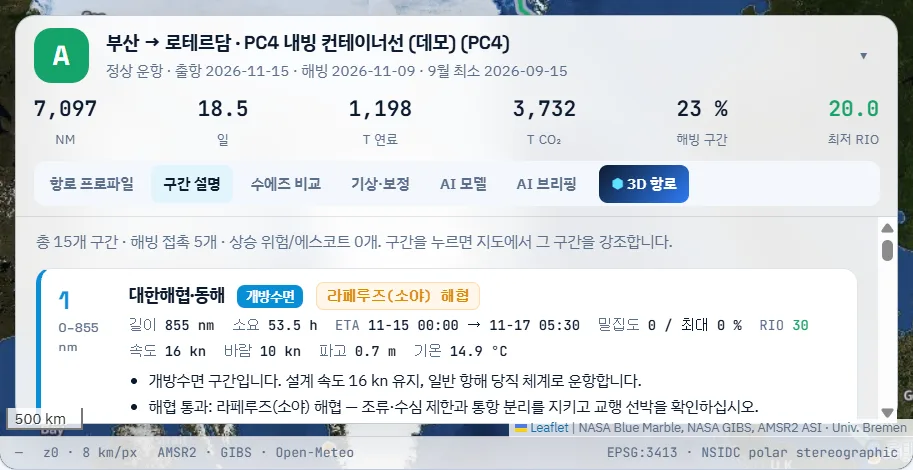
What it includes
What one briefing covers
Route summary
Origin, destination, vessel and class, departure, ice date, distance, days, fuel, CO2, ice share, minimum RIO and grade.
Worst leg
Position, concentration, estimated ice type and thickness, RIO and advised speed at the riskiest point.
Korean and English
The same briefing in Korean and English to share with the ship, shippers and charterers.
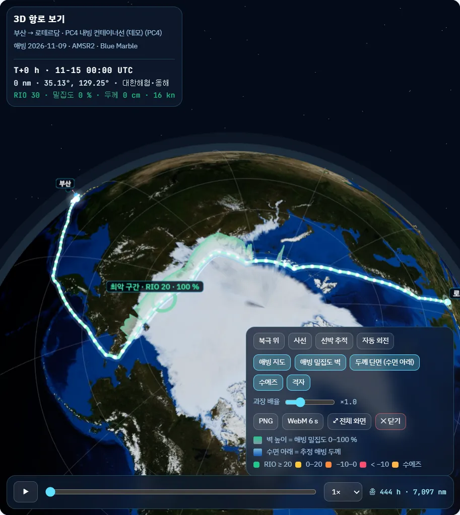
3D route and export
Play the route on a globe and save it as PNG or a 6-second WebM for reports.
FAQ
Frequently asked questions
Does generative AI make things up?
No. The briefing turns route calculation results (distance, RIO, concentration, temperature) into sentences; the numbers come from the calculation.
What is the 3D view for?
Management reports, shipper explanations and exhibition demos, where route and ice risk must be understood at a glance.
Get started
Try it on your own fleet’s voyages.
We walk you through the demo account and run your planned voyage on the latest ice field.