From ice field to sailing advice.
What POLARROUTE AI does every day, step by step. Every step can be checked on screen with the numbers behind it.
Four steps
Four steps.
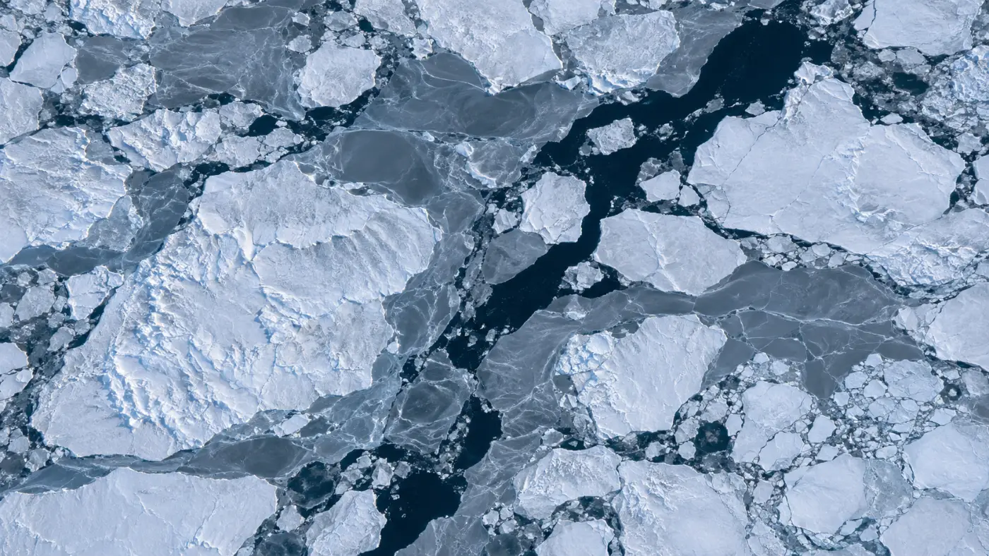
1. Collect
Daily AMSR2 concentration, ERA5 temperatures, wind, wave and SST forecasts, and NASA GIBS base maps.
2. Interpret ice
Map concentration onto the route grid, estimate ice type and thickness from freezing degree days, flag multi-year ice from the September minimum.
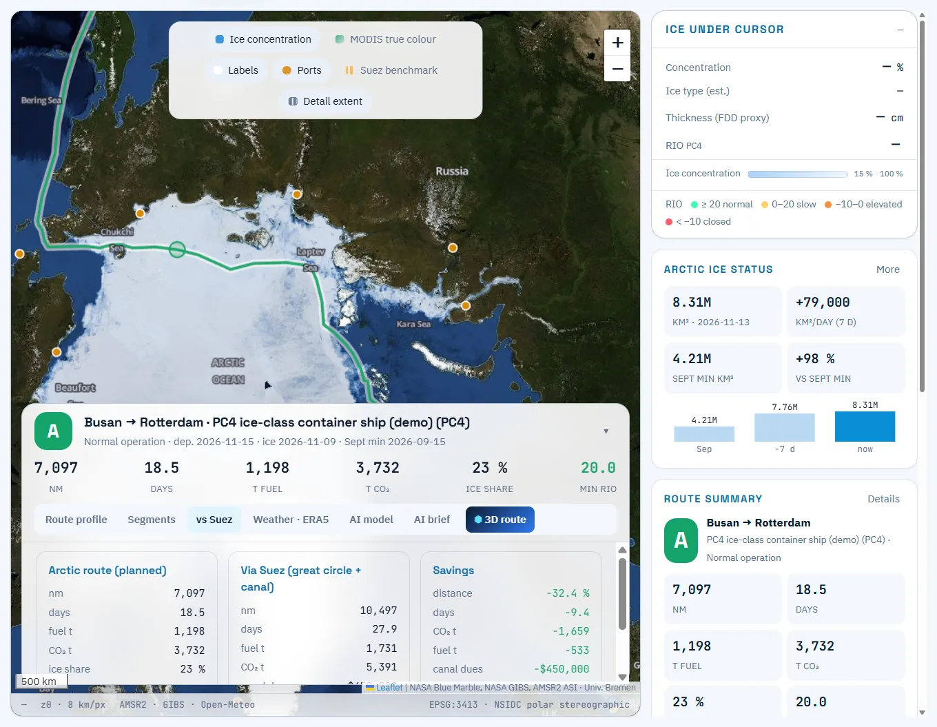
3. Risk & route
Score each cell with RIO for your ice class, drop closed cells and run A* for the optimal route.
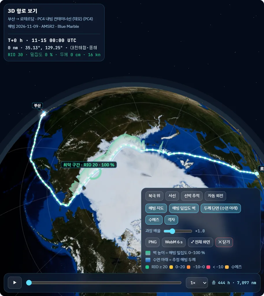
4. Advise & share
Per-leg speed limits and escort advice, Suez comparison, AI briefing and 3D route.
Model card
Inputs, model, outputs, limits
Summarised for reviewers.
| Item | Detail |
|---|---|
| Inputs | AMSR2 ASI concentration 6.25 km (daily), ERA5 temperature, Open-Meteo forecast and marine, vessel ice class, speed and fuel |
| Models | Freezing-degree-day thickness (Lebedev 1938), IMO POLARIS RIO, A* routing, cubic speed–fuel relation |
| Outputs | Route, per-leg RIO, permitted speed and escort advice, distance, days, fuel, CO2, Suez comparison, AI briefing |
| Validation plan | PoC comparison with field ice thickness (target MAE ≤ 20 cm) and actual voyage ETA (target error within 10%) |
| Limits | Thickness is a proxy; 6.25 km cannot resolve icebergs or narrow leads; does not replace official ice charts, permits or the master’s judgement |
FAQ
Frequently asked questions
How long does a calculation take?
Results appear on screen right after pressing “Plan route”. Saved voyages can be recalculated in bulk on the latest ice field.
Can it connect to autonomous ships?
For operations-centre deployments we are preparing an advisory API for autonomous navigation. See Shipbuilders & smart ships.
Get started
Try it on your own fleet’s voyages.
We walk you through the demo account and run your planned voyage on the latest ice field.